
The COVID-19 pandemic led to a rapid paradigm shift in the role of public places and the future design of these spaces. In modern urban planning, the public realm – our streets, civic spaces, and public places – have served as a place for activity and social interaction, and a key defining feature of any successful community. It has been in this shared domain where neighbors and friends connect and engage with each other, and unite with the space around them.
Now, we are at a crossroads in how the public realm will function in the future. With heightened awareness of our surroundings, and the individual desire to be in the community without overcrowding, planners and community leaders alike are recognizing the need to reconsider these spaces, their amenities, and opportunities for more inclusive public places. The dialogue between planners, local leaders, and their constituents is no longer a question of if these spaces are needed, but where these spaces are needed and what will they look like.
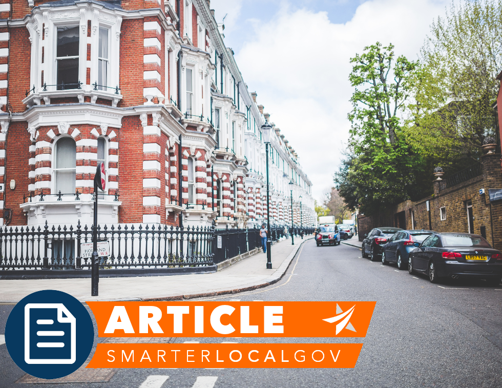
In the wake of a changing regulatory landscape that requires more personal space to protect the health and safety of the community, we need to reimagine the role of the public realm. More than ever, we are faced with the challenge of designing spaces to balance “social” or physical distancing with the needs of the individual in what remains a group platform. This will require re-envisioning the role of the sidewalk, permanent versus temporary amenities, and long-term maintenance and cleanliness.
Long-range plans today are commonly grounded in policies, goals, and objectives, often void of a supporting Master Plan or detailed project pages. These goals and objectives are then translated into zoning and development regulations, resulting in a disconnect between the vision and what gets built. Communities are often left wondering how they went through a detailed public engagement process, only to find the end product does not fit their vision.
It is no longer sufficient to merely recommend the integration of public spaces into your plans through regulation, zoning, and other development controls. Rather, we need to go one step further to better define these spaces through urban design early in the visioning stage of your long-range planning process; that is, defining the form (what it looks like), function (how the site performs), location (where it is located), and maintenance plan for each identified space centered around a clear and focused vision.
What is Urban Design?
The field can be characterized as the design of physical features with a focus on exploring the relationship of the built environment, public realm, and user experience. Inclusive of other design fields, including Landscape Architecture and Architecture, Urban Designers visualize the big picture, and consider how civic places, nature, people, and their needs influence the form of the public domain.
In contrast, Urban Planning, focuses on the technicalities of the built environment – setting the structure and framework, policies, and regulatory environment to shape the future of the public realm. Urban Planners and Urban Designers share the same goal: to create livable and vibrant places that are inclusive and accessible people of all ages, abilities, and backgrounds.
When creating or updating your long-range plan, there are steps communities can take to build urban design components into the process:
Community-driven visioning
Every long-range planning process must be community-driven. After all, the plan is for them, and the community needs to own it. At the onset of your project, hold visioning workshops that go beyond placing stickers on a map. Work with your planners to craft design charettes and hands-on workshops where residents shape the future of the public realm; let them design the parks, the location of the trails, opportunities for public art installations, and the future of the vacant city lot. Guide them to rethink their sidewalk strategy, and how the central plaza will function. Encourage them to think at the project level, that when combined, will create the community vision. Include images from the workshop in the plan to demonstrate that the vision was developed by the community.
Translate the vision into one holistic Master Plan
Once your community has identified their needs and desires, work with your planners to compile and refine their ideas, and translate it into one holistic Master Plan. This can be accomplished through a quick sketch using nothing but pen, trace paper, and markers, or a detailed Sketchup model or Photoshop rendering. Remember, these are concepts (think 5% design) intended to serve as the foundation for future decision-making and budget allocations.
Develop Targeted Area Plans
Not all communities require a Master Plan that shows the full build-out of their public places. An emerging strategy in long-range planning is the development of targeted area plans. These are projects created for specific sites within the community that are more detailed than traditionally found at the Master Plan scale (think 10% design). The number of area plans incorporated into your long-range plan will depend on the size of your community and number of sites. Each resulting area plan will include a list of desired amenities and features supported by specific steps for implementation, a detailed timeline, cost estimates, and maintenance considerations.
Embrace photography
Design is not just about pen to paper. It also includes visual mediums, such as photography. Take photos. Everywhere of everything – unique pavement, street furniture, building facades, medians – these will serve as your inspiration and communicate what the design is going to accomplish. Encourage your constituents to submit photographs to guide the design. Use these photos in your planning document, and identify what specifically the reader is looking at (e.g. storefront design, public art, sidewalk width, etc.) While cell phone photos are good when you’re on the run, it’s always best to use a small digital camera to ensure a higher quality for planning documents.
In summary, integrating urban design into the long-range planning process provides a visual roadmap, not only for the municipality, but also for future developers who have to consider the relationship between the public and private realm. A comprehensive design process will help ensure that the end product – the parks, trails, pocket parks, plazas, and sidewalks – meets the needs and vision as defined by the community.